

4/2 Severe Weather Event - Outlook & Updates
All storm threats hit southern Wisconsin

Thursday, April 2nd - 11:59 PM
Live coverage has concluded for this severe weather event, as the sole Severe Thunderstorm Warning for our area expired hours ago.
Thursday, April 2nd - 4:58 PM
The National Weather Service has indeed declared a Tornado Watch (as we predicted last night) for Dane County through 8 PM tonight. The latest Storm Prediction Center models maintain a 10% hatched risk for tornadoes, an upgraded 30% hatched risk for damaging straight-line winds, and a 15% chance of hail. Storms in Iowa have already prompted tornado warnings and an observed tornado or two, and that line of cells should make its way here within around two hours.
Before I get into the details on tomorrow’s severe weather event, let me start by saying that no, this one is NOT an April Fool’s prank. I’m also writing this while watching the Artemis II launch to the moon, and there is perfect weather at the Kennedy Space Center in Florida, so I have to get in the right mindset here…
What to expect
The National Weather Service’s Storm Prediction Center has upgraded our threat level to an enhanced risk, a level three out of five. Let’s get into what that means.
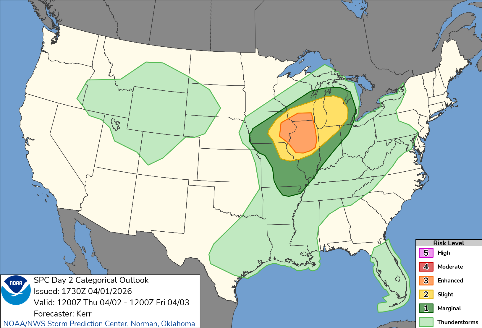
Tornadoes - far more likely than typical storms
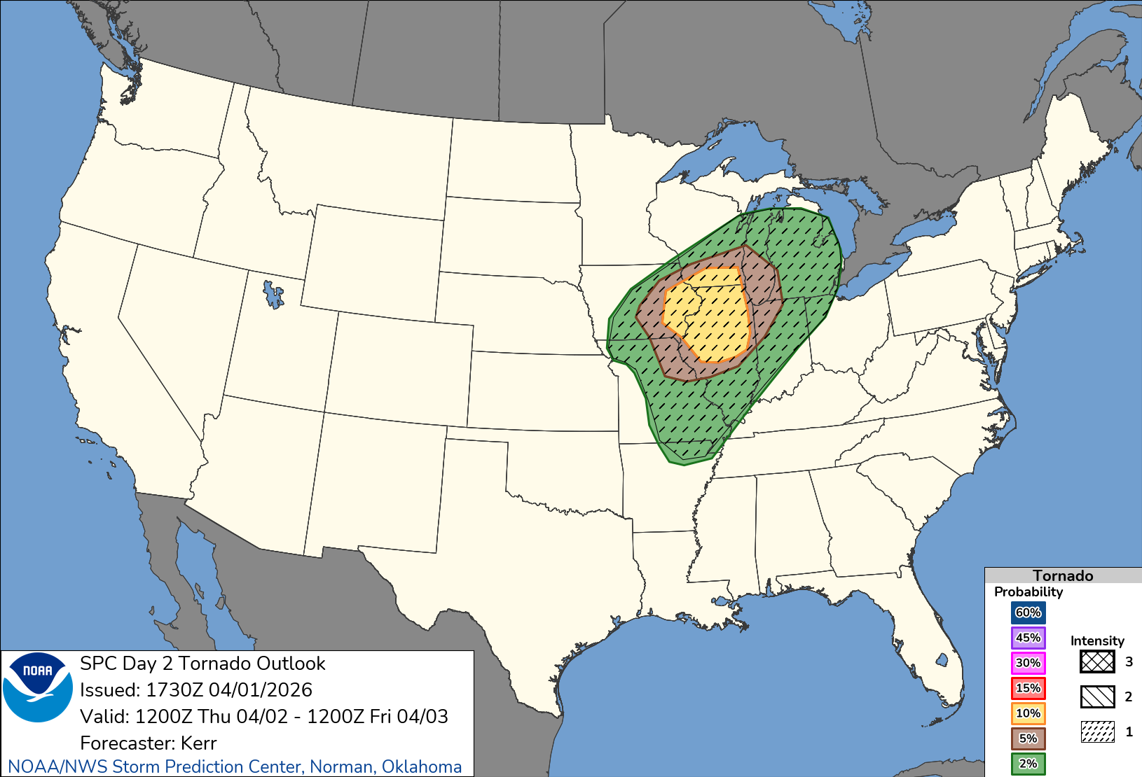
We are under a 10% hatched risk for tornadoes of the lowest intensity level, but that is still nothing to scoff at. A deep surface low is going to lift toward La Crosse, and the entire setup is uniquely favorable for strong, long-track, fast-moving tornadoes, mainly between 4-9 PM along the I-39 corridor, including Madison/Dane County. I think a tornado watch is fairly likely.
Damaging winds - very likely
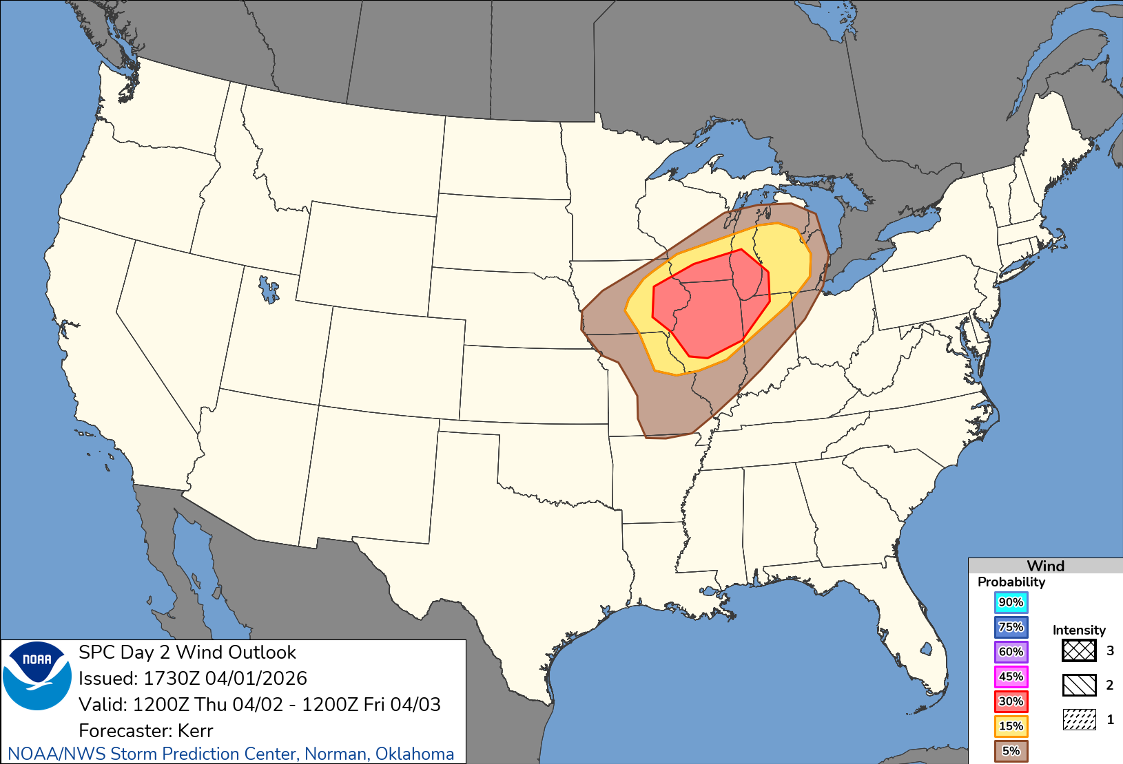
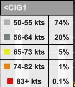
We are also under a 30% damaging wind risk, which is pretty much as high as we ever get here, but it is not a hatched (additional intensity) risk, so that’s good.
Hail - possible, but not the main concern
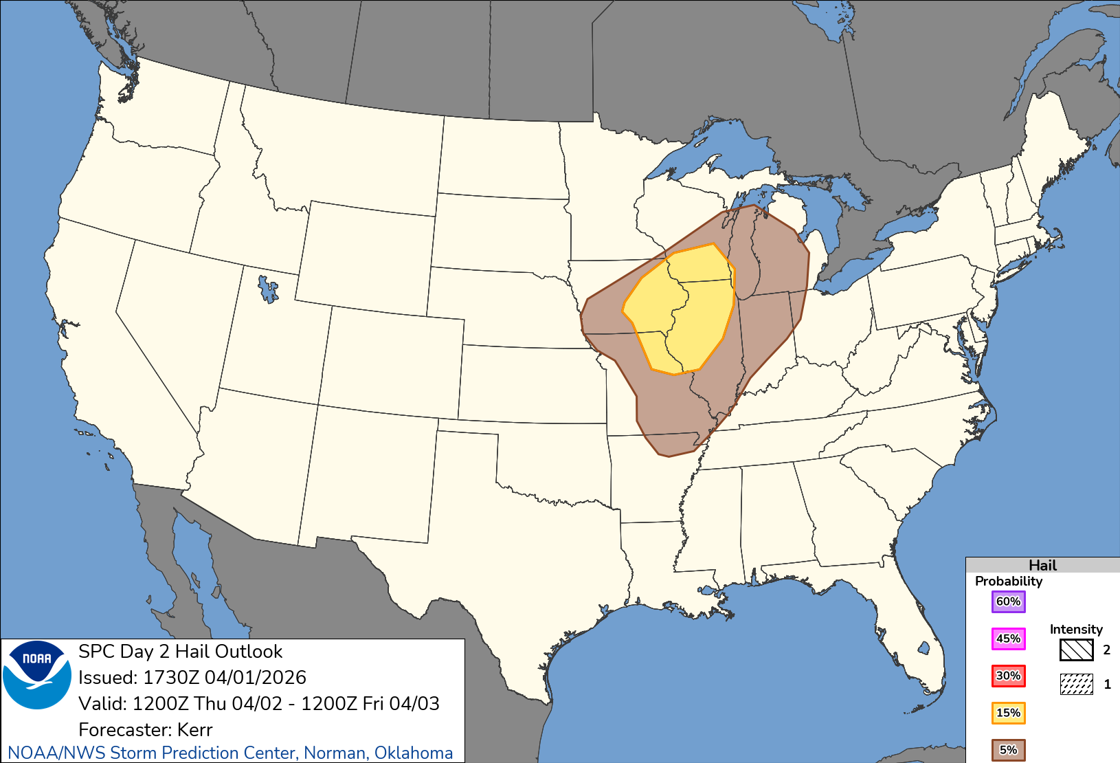
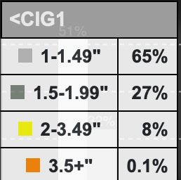
Finally, we have a 15% (not hatched) risk of hail, mainly under two inches in diameter, so not a huge concern. This will most likely be attached to any tornadoes that do spin up or in very isolated storm cells, and hail impacts won’t be widespread.
What to follow tomorrow
Definitely make sure you have weather alerts set up on your phone if possible, and keep an eye on the radar (I recommend WeatherWise) for more details on storm timing. I will probably post a few live updates here as things develop, as we are declaring a (new) Severe Weather Alert Day for tomorrow.