

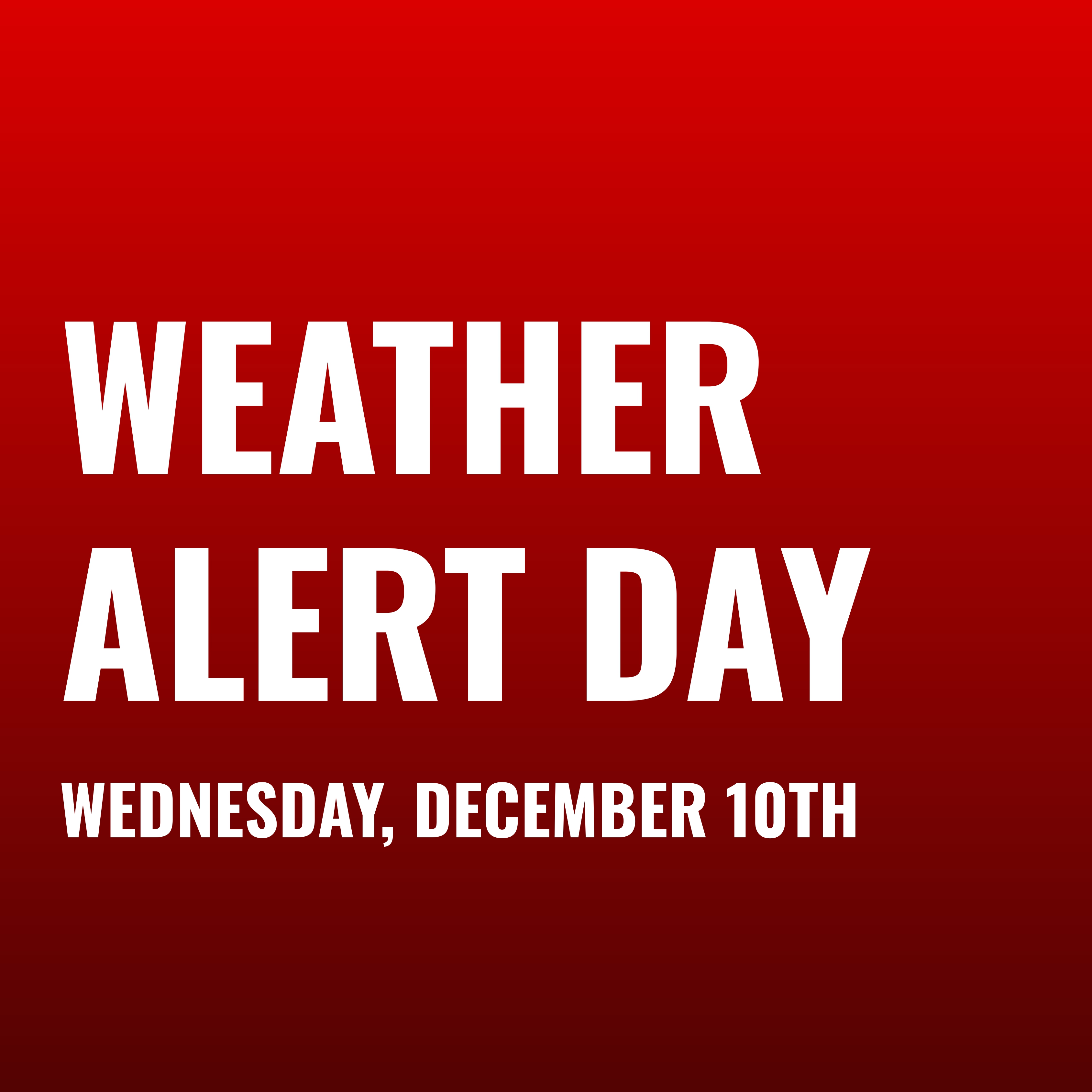
🟥 ALERT DAY - Wednesday, December 10th - Live Updates
Madison is set to get an inch or two of snow, but freezing rain/ice and high winds threaten travel Wednesday morning

CLICK TO VIEW THE LATEST FORECAST
10:27 AM, Tuesday, December 9th
And just like that, the NWS now has no measurable ice in the forecast, bringing the chance of a closure down to 34.8%.
9:30 AM, Tuesday, December 9th
The chance of a closure has increased from 38.1% to 41.5%, solely due to the ice mentioned below. If it continues to increase, we will get closer and closer to a true toss-up, and if it somehow exceeds 0.1 inches, a closure is more likely than not.
8:00 AM, Tuesday, December 9th
Due to the snow, freezing rain/ice accumulations, and high wind/gust speeds expected tonight into tomorrow morning, HDR Analytics is officially declaring Wednesday, December 10th, an ALERT DAY. Check out the forecast above for the latest MMSD closure odds. We will post occasional updates here/on the Instagram.
My personal take on this one: While I’m not inclined to think we will have a day off tomorrow, the forecasted ice accumulation is the key sign to watch heading into tonight. The district generally closes for a tenth of an inch, and right now the NWS has 0.01 inches expected. The snow, which will be blowing with high winds, over a layer of freezing rain and ice could make things interesting tomorrow.